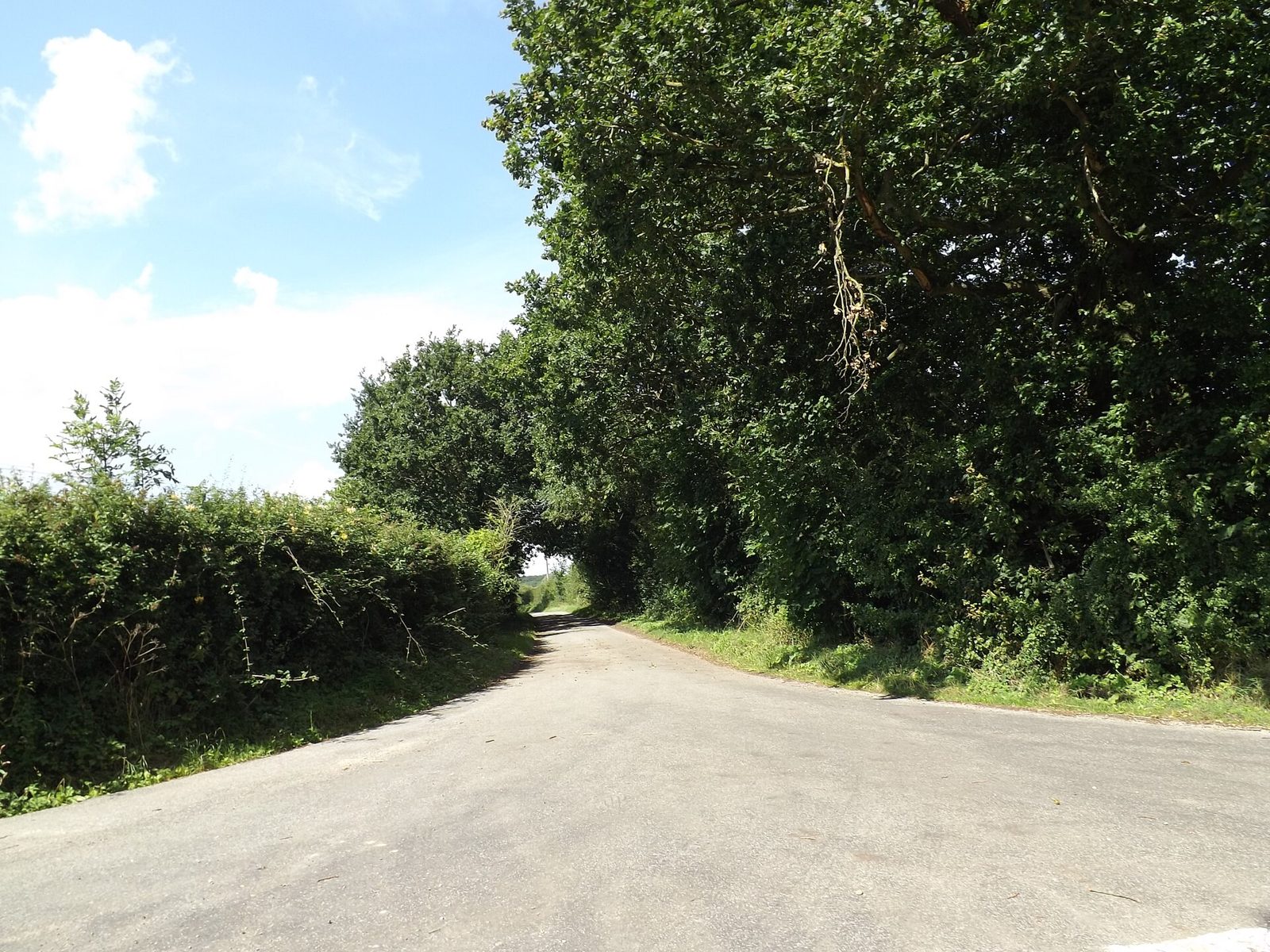
Braiseworth, Suffolk
A small, scattered parish two miles south of Eye, recorded in Domesday Book in 1086 — its history, churches, landscape and people.
About this record
This is a parish record for Braiseworth: what is known about the place, where each fact comes from, and what has not yet been confirmed. It is a quiet, evidence-led account of one small Suffolk parish — not a guide to a visitor attraction. Most of Braiseworth is private farmland and private homes, and the pages here say so plainly.
- Where
- Mid Suffolk district, Suffolk, East of England. Post town Eye, postcode district IP23. Grid reference TM 133 717.
- Name
- Old English Briosa’s worth — “Briosa’s enclosure or homestead”. Domesday forms: Briseworde, Brisewrda.
- First recorded
- Domesday Book, 1086: about 36 people, one mill, one church.
- Churches
- Old St Mary, medieval chancel, Grade II*. New St Mary, 1857, Grade II, redundant since 1976 — both now private houses.
- Listed buildings
- Fifteen entries on the National Heritage List for England.
- Nature
- Major Farm Meadow, a 1.2-hectare Site of Special Scientific Interest, notified 1986.
Source: Suffolk County Council parish history pack (2014); Historic England; Open Domesday; Natural England; The National Archives (full citations on each page and on About & Sources)
Find your way around
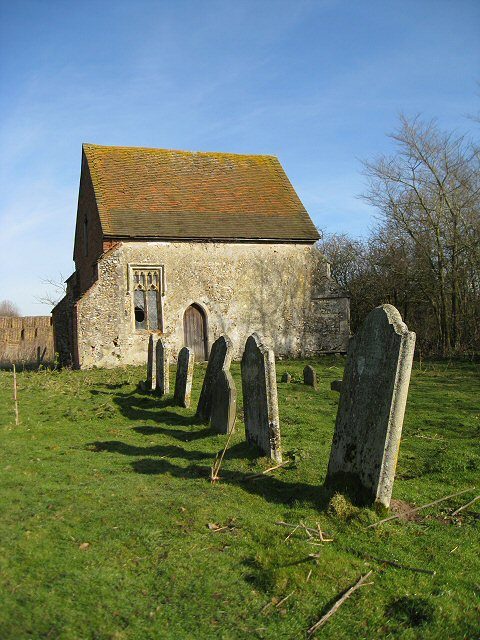
History
From four free men in 1086 to a parish of a few dozen today.
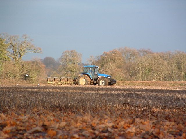
Archaeology
A Roman road, a possible Saxon dyke, and finds from the Mesolithic on.
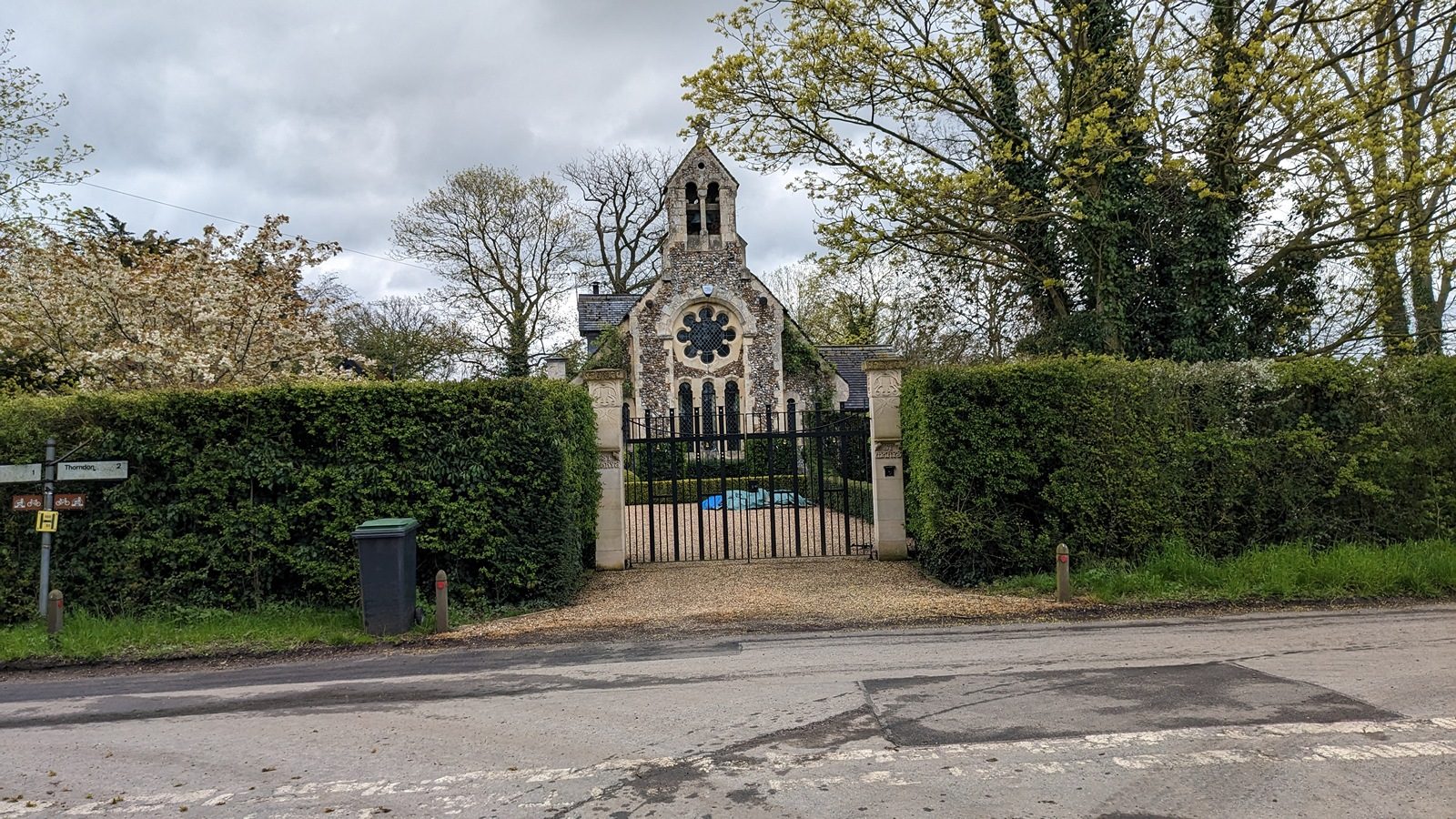
Churches
Two churches of St Mary — a medieval ruin and a Victorian original.
Buildings
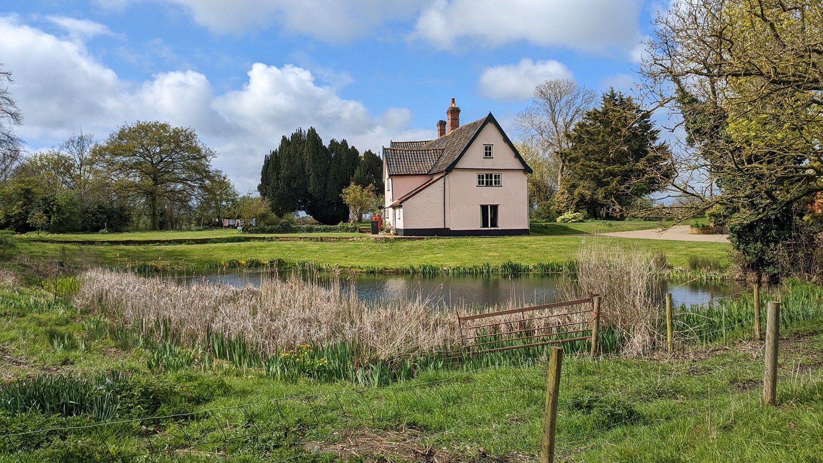
Fifteen listed buildings, most of them timber-framed farmhouses.
Landscape & nature
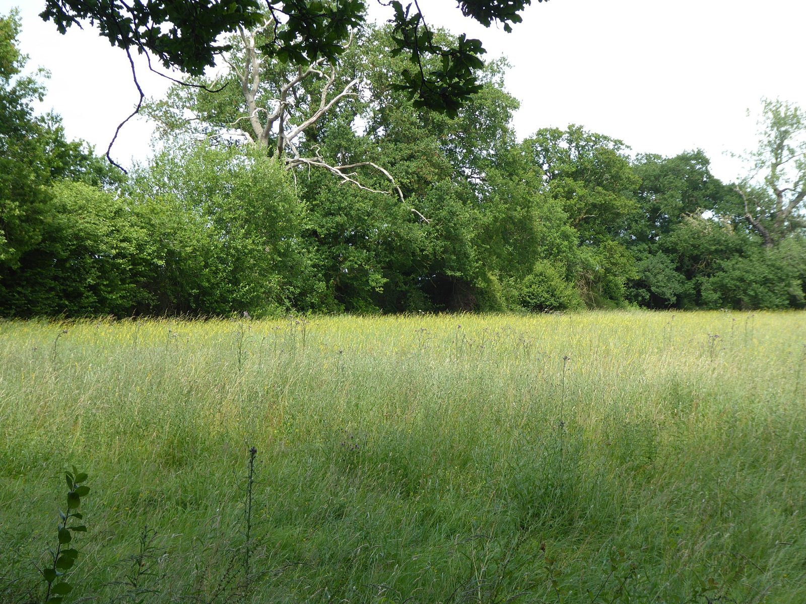
Boulder clay, the River Dove, and a meadow of national importance.
People
Domesday freemen, a Victorian rector, and a New Zealand novelist.
Surrounding villages
Eye, Occold, Thorndon, Yaxley, Stuston and Mellis, along the Dove.
Images & maps
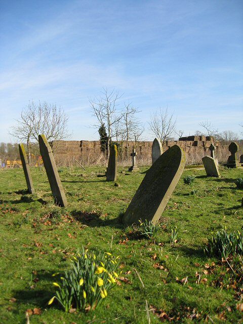
Credited photographs and historic Ordnance Survey maps.
Visiting
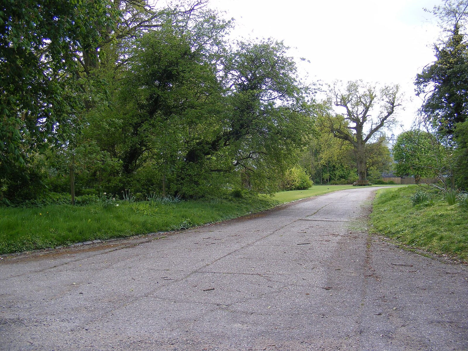
How to find Braiseworth, and what is private.
Local & community
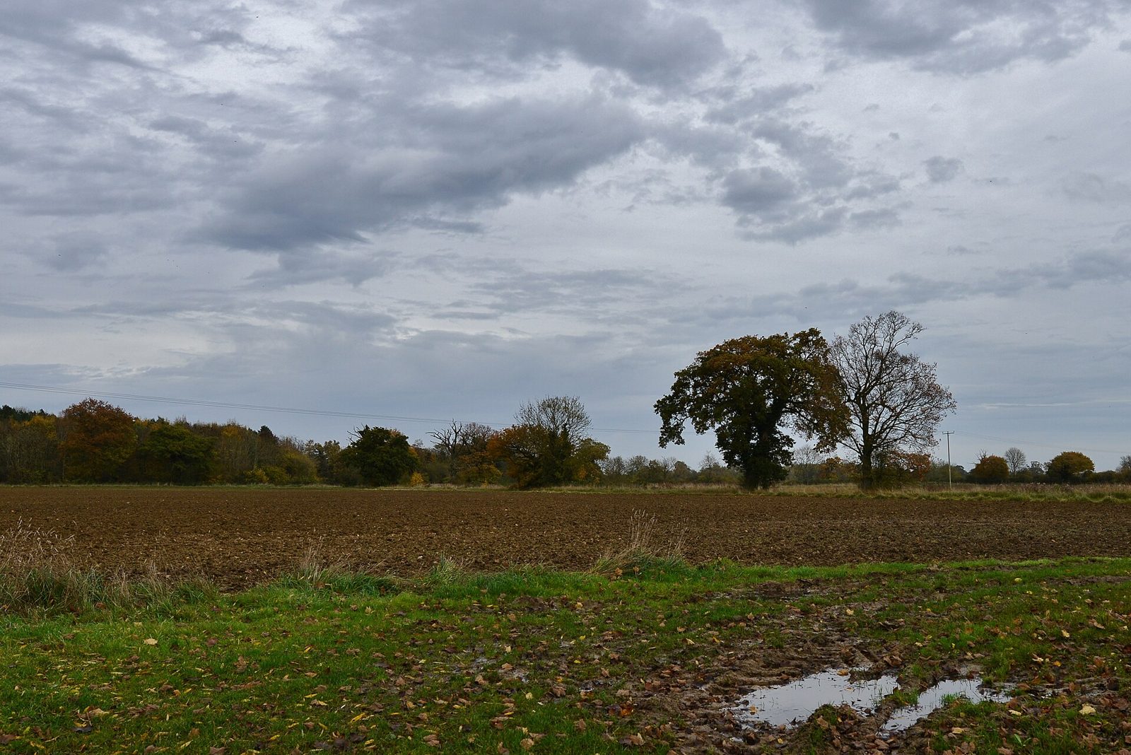
News, weather, bins, health, pubs, walks and useful numbers for locals.
The parish in six moments
A thousand years of Braiseworth, in the events the record can date. The fuller account is on the History and Churches pages.
- 1086Domesday Book records Braiseworth in the Hundred of Hartismere — a church, a mill, about 36 people.
- 1569Alexander Newton dies; his memorial brass is laid in the medieval church.
- 1838The tithe map surveys every field and building in the parish.
- 1857–58A new church is built by E. B. Lamb and consecrated by the Bishop of Norwich.
- 1921The war memorial is unveiled to the six men of the parish lost in the world wars.
- 1976Redundancy a pastoral scheme unites Eye and Braiseworth and closes the parish church.
“Braiseworth is a forgotten little hamlet, bypassed by roads and centuries.”
Simon Knott, Suffolk Churches, 2010
How this record is made
Everything here is traced to a published source, and every statement carries a source note. Where sources disagree, the difference is shown; where something has been looked for but not found, it is marked “Not yet confirmed” rather than guessed. Practical details — bin days, your MP, opening hours — carry a “Last verified” date. The full method, and the list of sources behind every page, is set out on the About & Sources page.
If you know something this record does not, or spot a mistake, a quiet note of correction or contribution is always welcome.
Last verified 25 August 2026